Navigating Pacific Beach View Corridor Rules & Design
November 21, 2025
November 21, 2025
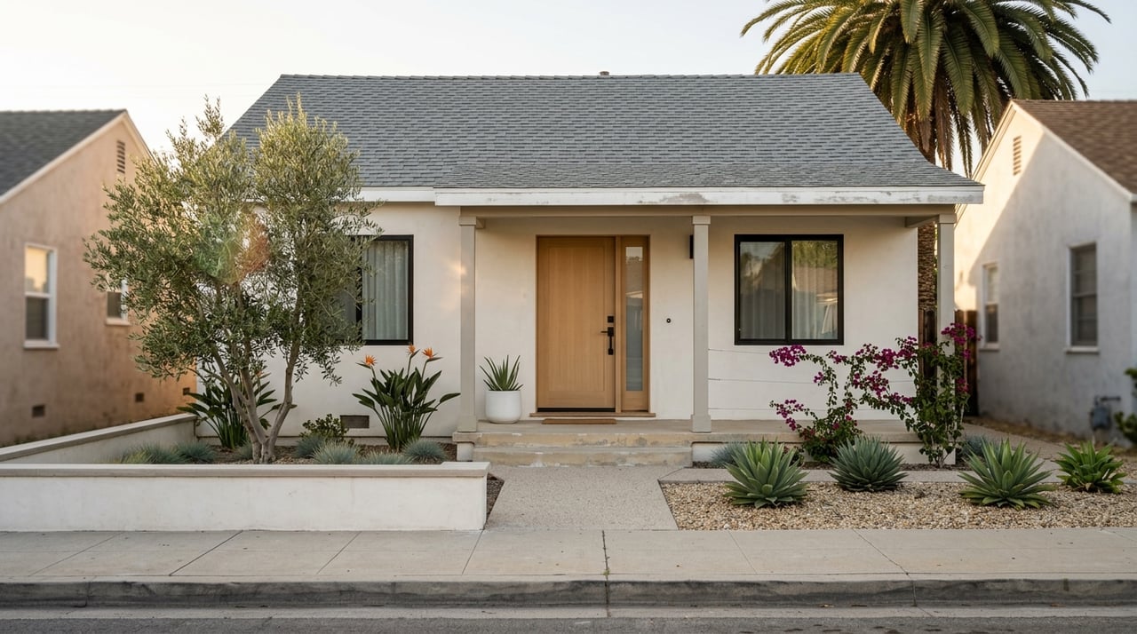
Do you have a great ocean view in Pacific Beach and wonder what might change it? Or are you eyeing a remodel and want to know how tall you can build? In Pacific Beach, view corridors, height limits, and setbacks work together and can affect both design and value. This guide gives you clear next steps, realistic timelines, and what to watch for so you can plan with confidence. Let’s dive in.
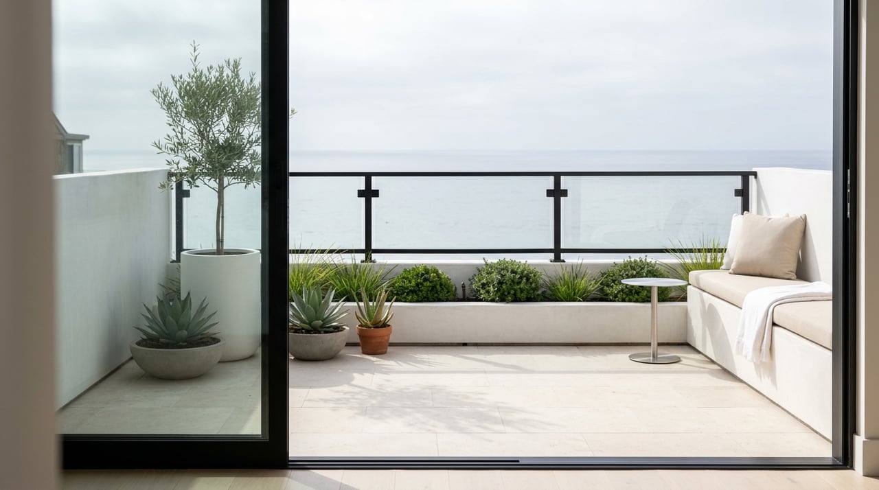
View corridors are sightlines that help preserve public views to the ocean. In Pacific Beach, they are shaped by community plan policies and coastal rules rather than a single one-size-fits-all number. Mapped corridors and street-specific guidance can influence where massing belongs on a lot.
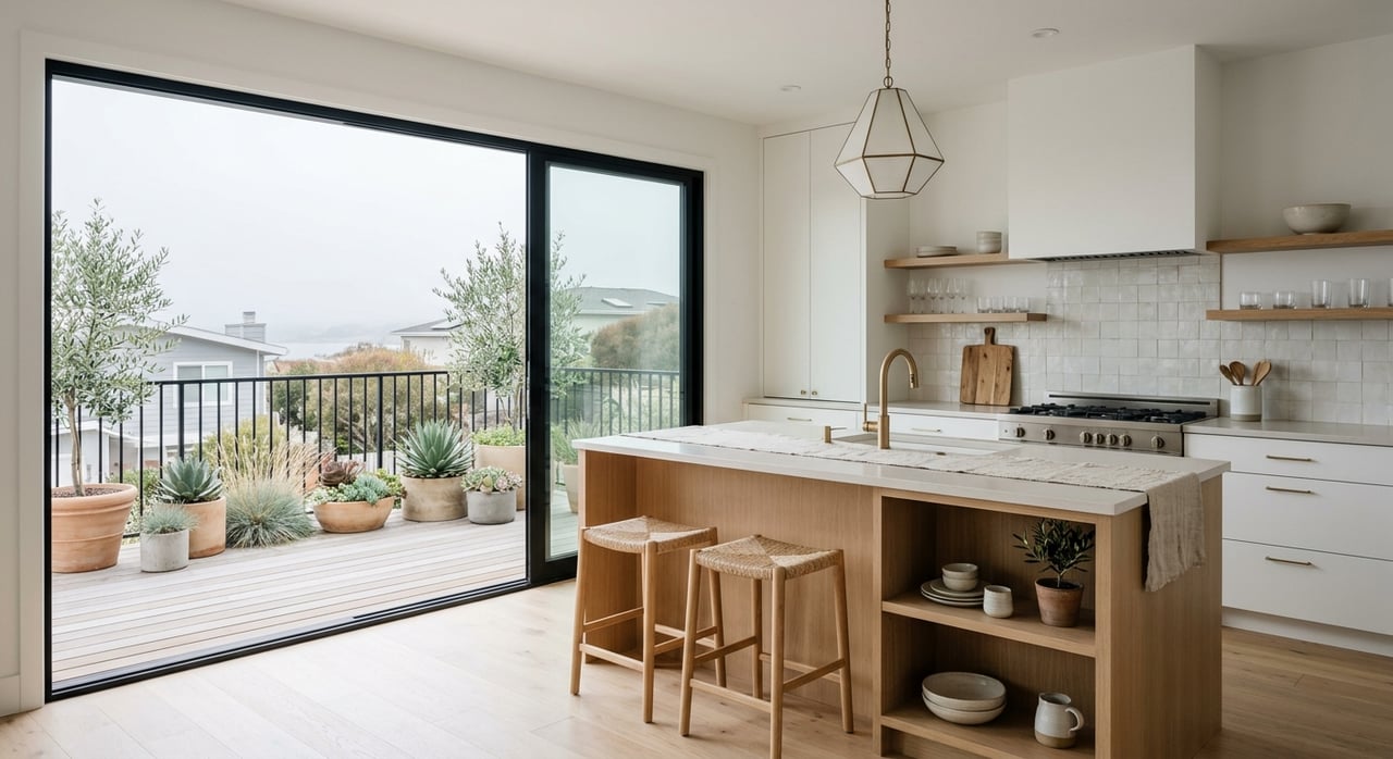
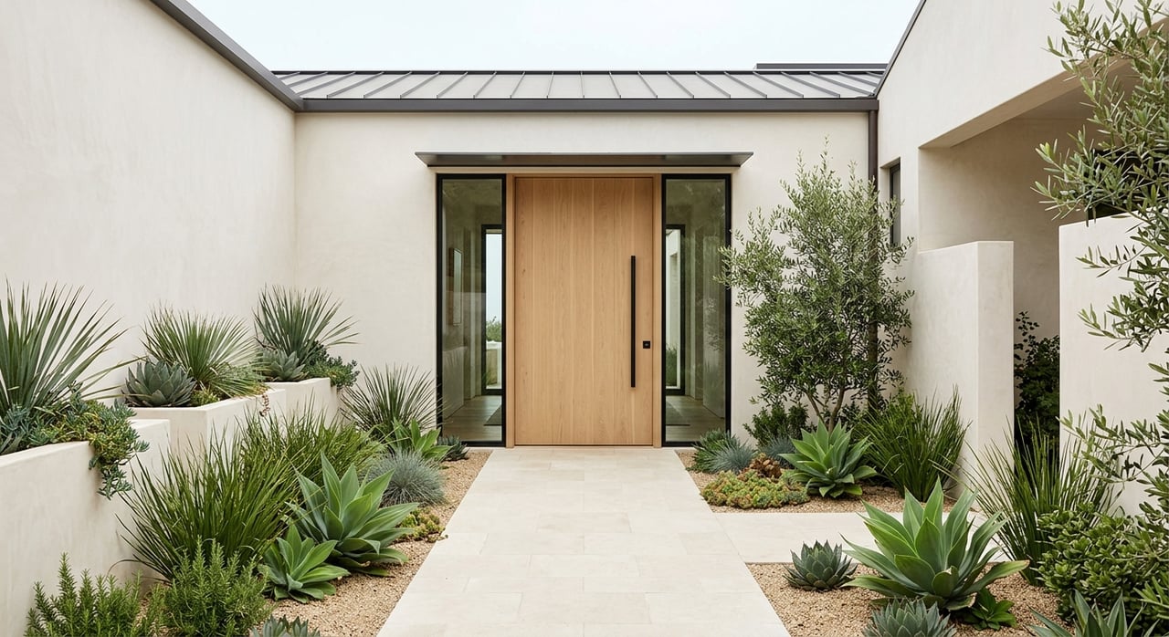
You will often see design solutions like upper-floor stepbacks, reduced ridge height, or transparent railings. The goal is to reduce blockage of public views where feasible while allowing reasonable development.
Several layers control height, views, and setbacks. These include the San Diego Municipal Code and zoning maps, the Pacific Beach Community Plan, the City’s Local Coastal Program and Coastal Overlay, and the California Coastal Commission for coastal permit issues. Federal and state layers like FEMA flood zones and state sea-level rise guidance can also shape what is allowed at the shoreline.
If rules conflict, the City’s code and certified Local Coastal Program guide decisions, and some projects can be appealed to the Coastal Commission. Always verify rules for your specific parcel.
Height limits vary by zone, block, and whether your parcel sits inside the Coastal Overlay. Many coastal areas keep moderate heights to maintain a beach-scale feel, but there is no single height that guarantees view protection. You must confirm your parcel’s numeric height limit on the City’s zoning map and in the Municipal Code.
Keep in mind that some zones also limit the number of stories. Where both a story limit and a numeric height apply, your design must satisfy both.
If your project sits along a mapped or sensitive corridor, expect closer review. The City often asks for stepbacks above the first floor, slimmer upper levels, or massing shifts to preserve public sightlines. Architects may prepare line-of-sight studies from streets, parks, or the shoreline to support approvals.
These adjustments do not always prohibit a second story. Instead, they guide where the bulk of the building can go and how much of it is visible from public viewpoints.
Setbacks define your buildable area. Front, side, and rear setbacks depend on the base zone and any overlays. They affect where you can place additions, balconies, and garages, and they often work alongside lot coverage or floor-area ratio limits.
Parking requirements can also shape the footprint. If you plan to add an ADU, remember that coastal rules and shoreline constraints may still limit what is possible on beachfront parcels.
Oceanfront and bluff lots face the most restrictive rules. New construction, substantial remodels, and additions near the water often require a Coastal Development Permit. Reviews look at public access, public views, shoreline hazards, and coastal resources.
Shoreline armoring is limited. Sea-level rise and erosion reports can affect where you build and what foundations are allowed. FEMA flood zones may add elevation and engineering requirements, which can change cost and design.
Plan for a multi-step process. Most owners start with research to confirm zoning, overlays, and any recorded easements. Many projects benefit from a pre-application meeting with City staff to map out approvals.
Typical steps and ranges:
Projects fully outside the coastal overlay can move faster. Multi-story work in or near the Coastal Overlay or along mapped corridors often takes 9 to 18 months to secure approvals, and complex shoreline projects can run 12 to 36 months.
Use this quick checklist before drafting plans:
View potential and development potential go hand in hand. A parcel with a strong public view corridor nearby may face stricter massing controls, which can shape what you can add or rebuild. On the other hand, lots with protected or unobstructed public views often command premiums.
Private views are not usually protected by municipal rules. A recorded view easement or HOA covenant is the typical way a private view is enforced. Evaluate both current views and what nearby parcels could build under zoning and coastal policies.
If you are considering a remodel, addition, or a sale, start with parcel-specific facts. Confirm your zoning stats, setbacks, height limit, and any coastal or flood overlays. Then discuss design strategies that both meet your goals and align with view corridor expectations.
With decades of parcel-level memory and an in-house construction capability, the Chris Love Team can help you scope build potential, anticipate review hurdles, and position your property for the right outcome. Request a personalized home valuation, or ask for a feasibility conversation to map out smart next steps.
Stay up to date on the latest real estate trends.